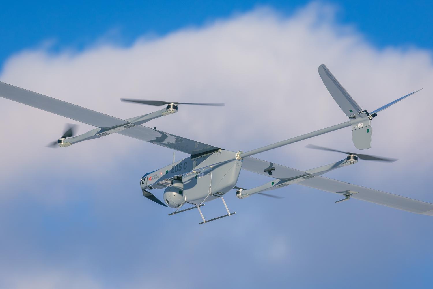
- Eos
- C
- VTOL
FULLY ELECTRICAL UNMANNED AIRCRAFT SYSTEM
Eos C VTOL is a long-range surveillance and target acquisition UAS designed for low observability, endurance, and reliability in the toughest conditions.

Thousands of hours of battle experience
Used in multiple armed forces, including 7 NATO members states and Ukraine
Widely adopted in military, border protection and police forces


EOS C VTOL KEY FEATURES

Performance
- Operational range: 50 km
- Endurance: up to 3 hours
- From transport to flight: 4 minutes

Operational
- Navigation without GPS
- EW resilience

Team Requirements
- Training duration: 3 weeks
- 2 trained operators
SYSTEM FEATURES BREAKDOWN
Training program
Technical specifications
Download onepager (opens in a new tab)Performance
-
Flight parameters
Endurance: up to 3 h
Maximum distance: 190 km
Communication range: 50 km (RLOS) -
Speed parameters
Cruise speed 61 km/h
Max speed 90 km/h -
Altitude parameters
Service ceiling (AMSL) 4 500 m
Max takeoff altitude (AMSL) 3 500 m -
Weather parameters
Precipitation 10 mm/h
Wind penetration 16 m/s
Vertical flight wind tolerance 12 m/s
Temperature -20°C …+50°C
Communication
-
Communication
Frequency 2.2–2.5 GHz or 4.4–4.9 GHz
Bandwidth 5 / 10 / 20 MHz
Encryption AES-256
Range up to 50 km RLOS
Type: digital, MIMO / MANET / MESH -
Anti-jamming
Interference cancellation
Interference avoidance
GNSS-independent navigation
Optional anti-jamming system with CRPA antenna
Flight Control
-
Autopilot
Fully autonomous
Waypoint navigation
Fly-by-camera mode
Geo-fencing -
Safety
Programmable failsafe routes
Automatic return to home
-
Failsafe routes
Dead reckoning
Continuous health monitoring
Servo and ESC feedback
Operational
-
Deployment
Vertical takeoff and landing
-
Takeoff and landing Site
Obstacle-free area, 10 × 10 m
-
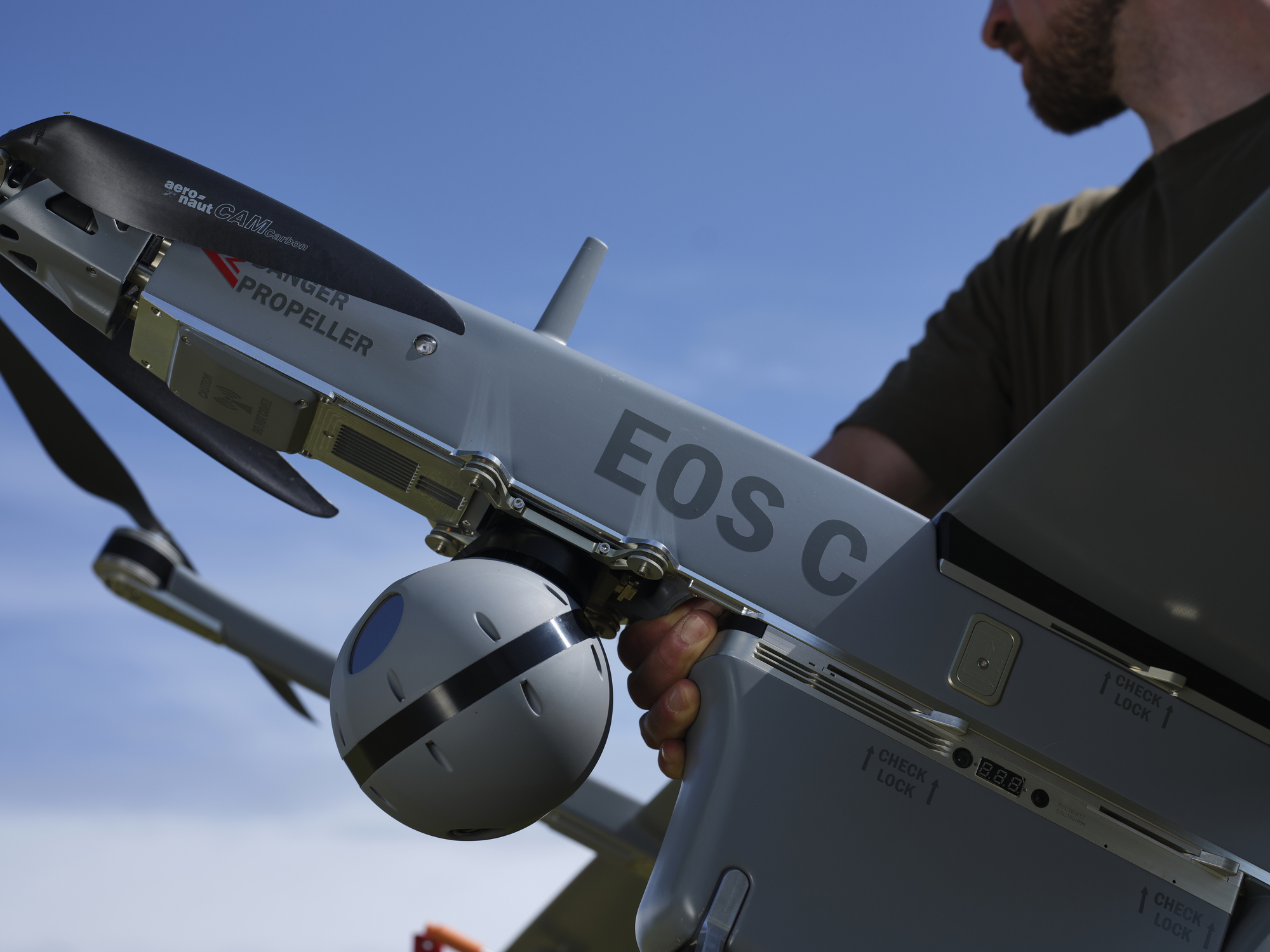
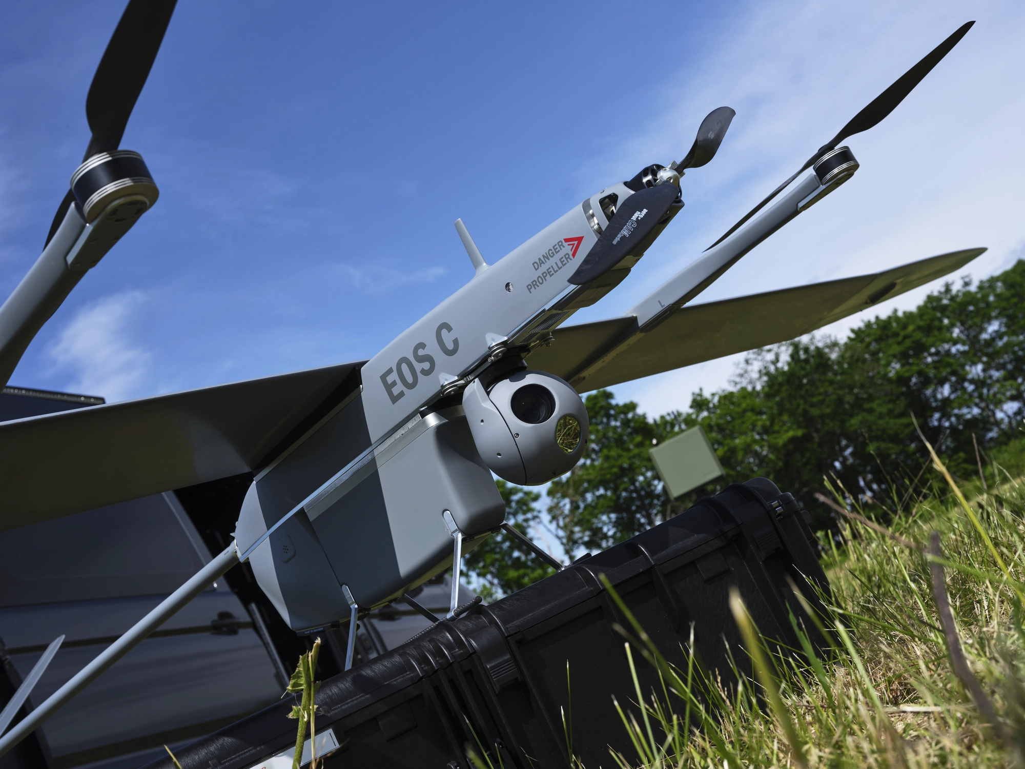
Instrumentation
GPS / GLONASS / GALILEO
Barometric altimeter, radar altimeter
Pitot tube with drain
Inertial Navigation System (INS)
Servo feedback and logging
ESC telemetry and logging -
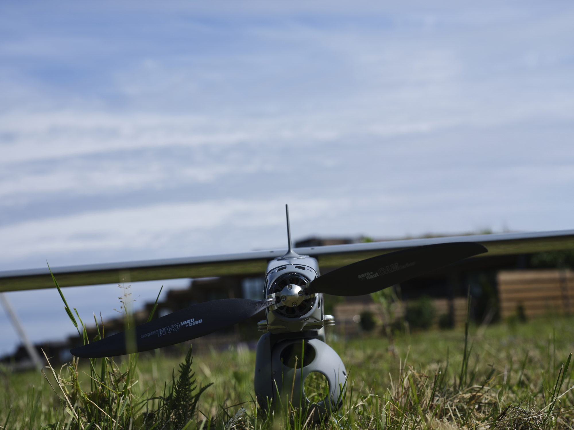
Propulsion
Fully electric / battery powered
-
Air Traffic Control Transponder
Optional Mode-S / ADS-B Out
-
Emergency tracking
Optional GSM / GPS tracker
-
Visibility
LED navigation and anti-collision lights
IR strobe / light -
Battery
Lithium-polymer smart battery with BMS
Automatic self-storage feature